Surveying Technology Workshop
Back to Technical & Vocational Education DepartmentsTraining and demonstration system for geodetic and surveying applications
Fully equipped surveying workshop for education, practice, and regional infrastructure development
Concept and Philosophy
In line with our educational and development philosophy, this workshop integrates the fields of classical geodesy, GNSS technology, photogrammetry, laser scanning, GIS analysis, cadastral management, as well as project and data management into a highly practice-oriented overall concept.
The training follows the complete value chain of surveying—from initial field data acquisition and point measurement, through data processing and 3D modeling, to cadastral updating, infrastructure planning, and sustainable data management.
Participants acquire a coherent, hands-on competency profile that enables them to work as qualified professionals in surveying projects or—at the appropriate level of motivation—to establish, optimize, or manage their own surveying services, advisory structures, and maintenance systems.
Practical learning along the entire surveying process
With the fully equipped surveying workshop, participants gain hands-on experience in all technical and operational steps of surveying:
Terrain analysis and point determination – Suitability of different methods for optimal accuracy
Understanding the measurement process – Terrestrial, satellite-based, and airborne techniques
Instrument management – Calibration, alignment, data acquisition
GNSS and correction services – Real-time positioning, RTK optimization
Data production and processing – Point clouds, orthophotos, 3D models
GIS analysis and map creation – Spatial analyses, thematic maps
Cadastral management – Boundary surveying, property data, updates
Operational safety and maintenance – Equipment protection, calibration, field logistics
Quality control and data validation – Accuracy checks, error diagnosis
Initial field campaign and stabilization – Setup, calibration, data integration
Educational content
Importance of Surveying for Sustainable Development
Surveying forms one of the few foundational disciplines for sustainable infrastructure that is available decentrally, independent of resources and seasons. It enables:
Decentralized infrastructure development – Planning of roads, cities, and mining operations directly on site
Resource efficiency – Utilization of terrain data for optimal land use or mining
Circular economy – Data updating for sustainable resource management
Economic stability – Additional income for operators, regional value creation
Climate protection – Precise mapping for environmental conservation and CO₂-neutral planning
Equipment & Learning Environment
The training system is based on a fully equipped surveying workshop, consisting of:
Total station and GNSS receiver with RTK functionality
Drones equipped with photogrammetry and LiDAR sensors
Laser scanners (terrestrial and mobile) for 3D point clouds
GIS software and data processing tools (e.g., ArcGIS, QGIS)
Laboratory equipment for data analysis and validation
Measuring instruments for angles, distances, heights, and inclinations
Consumables and accessories for multiple field cycles
Documentation and monitoring systems
The equipment is designed for groups of approximately 18–24 participants, with parallel work in teams (e.g., field measurement team, data processing team, GIS analysis team, cadastral team, documentation team).
Complete technical & practical Curriculum with predefined exercises and Structured Teaching & Practical Training Programme.
Competency Framework – Program Structure by Modules
The training is structured into 10 progressively building modules:
Module 1 – Fundamentals of Surveying (GV): Mathematics, coordinate systems, basic instruments, terrestrial measurement
Module 2 – GNSS and Satellite Technology (GS): GPS, GLONASS, RTK, base stations, position determination
Module 3 – Tachymetry and Total Stations (TT): Use of total stations, 3D point acquisition, robotic systems
Module 4 – Photogrammetry and Drones (PD): Aerial imagery, orthophotos, drone surveying, software
Module 5 – Laser Scanning and LiDAR (LL): Terrestrial and airborne scanners, point cloud processing
Module 6 – GIS and Geoinformatics (GI): Data analysis, map creation, web mapping, programming
Module 7 – Cadastral Management and Law (KR): Boundary surveying, cadastral software, legal foundations
Module 8 – Project Management and Quality (PQ): Planning, budgeting, quality control, teamwork
Module 9 – Field Practicum and Safety (FS): Logistics, safety, real-world projects in the field
Module 10 – Final Project: Integrated application, certification, career planning
Conclusion
This workshop combines surveying technology, geodesy, education, and development impact into an integrated overall concept.
It empowers people on the ground to plan, survey, and optimize sustainable infrastructure themselves.
DMH - Education that creates opportunities—for today, tomorrow, and your future.
Contact us for a customized offer—including turnkey solution, layout planning, and financing options!
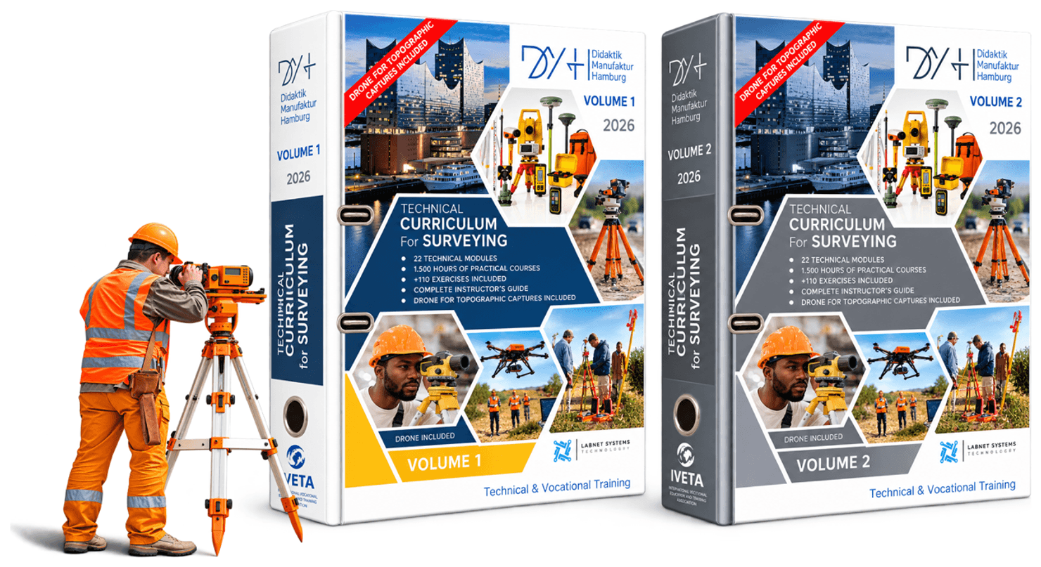
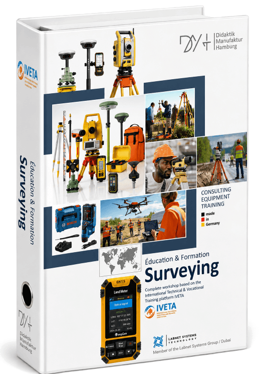
Practical training Curriculum (what is that?)
for SURVEYING
Included as an integral component of every workshop.
(Each curriculum is individually adapted to the specific requirements of the workshop.)
- +24 months full-time training
- +1,350 hours hands-on working time
- +29 modules with exercise instructions
- +130 pre-defined practical exercises
- +180 individual training equipment items
- +11 workstations
- +15 to 20 apprentices per group (expandable)
- +6 categories
Contact us for assistance with your project.
Take advantage of our extensive experience and expertise.
We will be happy to send you a personalized quote accompanied by one or more useful extension options.
Your Didaktik Manufaktur Hamburg Team